
Karnataka to receive heavy to very heavy rainfall till July 17: IMD warns
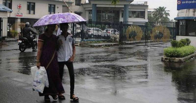
Bengaluru: A trough over the East Arabian Sea off the Karnataka coast is expected to trigger heavy to very heavy rainfall in many parts of the state until the weekend. The Karnataka State Natural Disaster Monitoring Centre (KSNDMC) issued red, orange and yellow warnings in many parts of the state for the next few days.
The red warning indicating heavy to very heavy rainfall was issued for the coastal districts of Karnataka and parts of Malnad Karnataka for July 17. This included Dakshina Kannada, Udupi, Uttara Kannada, Chikkamagaluru, Hassan and Kodagu districts. The orange alert was issued for many parts of the state for Thursday and Friday including coastal and northern parts of Karnataka like Belagavi, Dharwad and Haveri.
Temperatures are expected to be cooler in Bengaluru between 20 and 25 degree Celsius and thunderstorms accompanied by light to moderate rains are predicted for the state capital. Widespread rainfall is forecast in the state at least till the end of this week, CS Patil, Director, India Meteorological Department (IMD), Bengaluru, told to media. The southwest monsoon hit Kerala on June 3, two days after its normal date of June 1.
It rapidly covered most parts of central, west, east, northeast and south India by June 15. It also covered many parts of north India with Delhi reporting rains this week. But KSNDMC officials said that the rainfall between June 26 and July 2 across Karnataka was 58% less than normal.
Comments are closed.