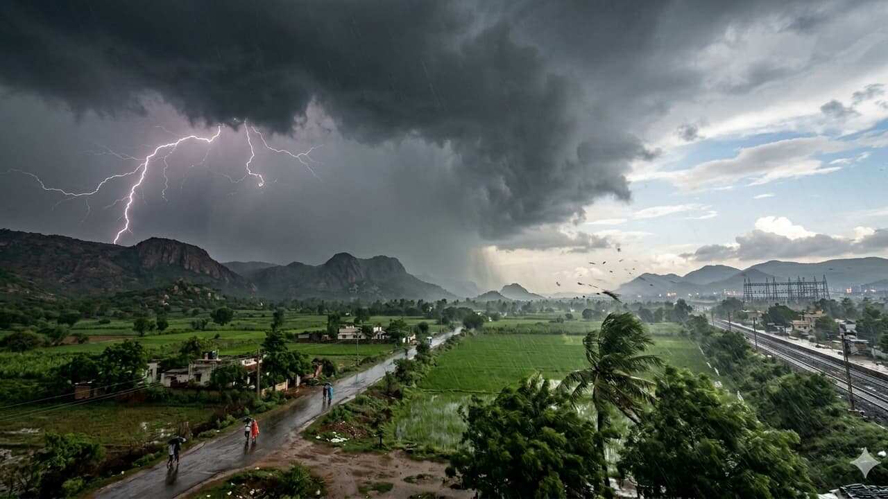
Rain activity is expected to continue across Karnataka over the next two days, with the India Meteorological Department warning of thunderstorms, strong winds and heavy rainfall in several districts.
The latest IMD warning issued on September 22 indicates heavy rain along with thunderstorms and strong surface winds across parts of South Interior Karnataka and North Interior Karnataka on September 23 and September 24. Coastal Karnataka is also expected to see thunderstorms and strong winds, with a heavy rain warning for September 24.
The weather system is likely to bring uneven rainfall across the state. Some districts could receive isolated heavy showers, while several other areas may experience light to moderate rain accompanied by thunder and gusty winds.
In Coastal Karnataka, Dakshina Kannada, Udupi and Uttara Kannada are expected to receive rain during this period. The IMD warning indicates the possibility of heavy rain in parts of the coastal region on September 24, along with thunderstorms and strong winds.
North Interior Karnataka is also likely to remain active. The IMD has issued warnings for heavy rain, thunderstorms and strong surface winds on September 23 and September 24. The affected region includes districts such as Belagavi, Bagalkot, Vijayapura, Bidar, Kalaburagi, Haveri, Yadgir, Dharwad, Raichur, Koppal and Gadag.
Some areas could receive heavier showers while others may see scattered rainfall. Residents in low lying areas and people travelling during thunderstorms may need to remain alert to changing weather conditions.
South Interior Karnataka has also come under a significant weather watch. The IMD has forecast heavy rain, thunderstorms and strong winds for September 23 and September 24.
The region includes Bengaluru Urban, Bengaluru Rural, Tumakuru, Chikkaballapur, Chamarajanagar, Chikkamagaluru, Chitradurga, Davanagere, Kolar, Mandya, Mysuru, Ramanagara, Hassan, Kodagu, Shivamogga, Ballari and Vijayanagara among other areas.
The weather conditions could affect normal travel in cities and towns if intense showers occur during busy hours. Thunderstorms may also bring short periods of strong winds, making conditions more difficult for motorists and pedestrians.
Bengaluru is also expected to experience changing weather during this period. The city falls within South Interior Karnataka, where the current IMD warning includes heavy rain, thunderstorms and strong surface winds.
Recent rainfall has already been recorded at several locations in the state. According to the rainfall details supplied with the latest forecast, Yadrami in Kalaburagi recorded 8 centimetres, Hesaraghatta in Bengaluru Urban recorded 6 centimetres, Indi in Vijayapura recorded 6 centimetres and Kuknoor in Koppal recorded 5 centimetres.
The recent showers have not been uniform across Karnataka. Some interior areas have received useful rainfall, while other locations have experienced shorter spells. This uneven pattern is common during periods of active monsoon conditions.
The latest forecast suggests that the weather situation should be watched closely through September 24. Coastal Karnataka has a heavy rain warning for September 24, while both North Interior Karnataka and South Interior Karnataka have heavy rain warnings on September 23 and September 24.
The IMD warning also mentions thunderstorms and strong surface winds along with rainfall. Such conditions can develop quickly, particularly during afternoon and evening hours, so commuters may encounter sudden changes in visibility and road conditions.
For Bengaluru and other urban areas, heavy showers can temporarily slow traffic and create water accumulation on roads. Residents travelling across the city may therefore experience delays if intense rain coincides with peak traffic periods.
Farmers across the state are also watching the forecast closely. Rainfall during this period can provide useful moisture for agricultural areas, although very heavy rain over a short period can create problems in places with poor drainage.
The current forecast does not mean that every district will receive heavy rain continuously. Weather warnings identify areas where particular conditions are possible, and actual rainfall can vary considerably from one location to another.
With the monsoon still active over Karnataka, the next two days are expected to remain unsettled in several parts of the state. The IMD has indicated that the current warnings are concentrated on September 23 and September 24, after which the present subdivision warning does not list further warnings for Karnataka for September 25.
Residents should therefore keep track of local weather updates, particularly if travelling through areas expecting thunderstorms or heavy showers. The most important concern over the next two days will be the combination of rainfall, lightning and strong winds across several parts of Karnataka.