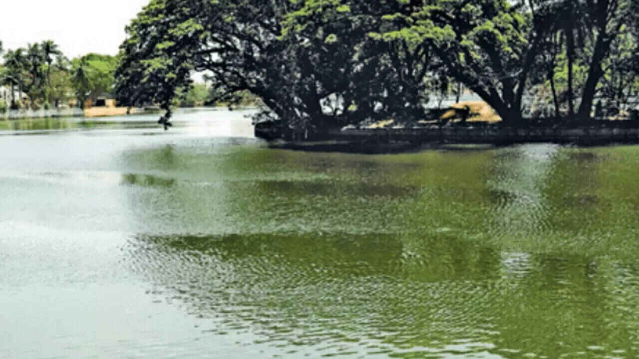
Karnataka has completed the fieldwork for its latest survey of minor irrigation projects and water sources, providing the state government with a large database of its existing water infrastructure.
Minor Irrigation and Science and Technology Minister Dr Ajay Dharam Singh said the fieldwork covered the entire state and was completed in August 2026.
The survey has recorded 38,960 water sources, including lakes, along with 14,18,894 groundwater projects and 77,573 surface water projects. The scale of the data collection gives the government a clearer picture of the water resources currently available across Karnataka.
The exercise covered 30,671 villages, 300 urban local bodies and 7,128 urban wards. Officials carried out the fieldwork as part of the seventh Minor Irrigation Census and the second Census of Water Bodies.
The project was conducted with complete financial support from the Union Ministry of Jal Shakti. The fieldwork involved collecting information on different categories of irrigation projects and water bodies spread across the state.
The Minor Irrigation Census focuses on projects with irrigation potential of up to 2,000 hectares. The water bodies survey, meanwhile, gathered details about lakes, tanks and other sources that play a role in storing and supplying water.
The newly collected information comes at an important time for Karnataka. Several parts of the state face challenges linked to drought, falling groundwater levels and changing weather patterns. Having updated information about water resources can help authorities identify areas where conservation work is urgently needed.
According to the minister, the survey should not remain limited to government records or a statistical report. The information needs to be used when planning practical water management measures across the state.
The data could help authorities identify lakes that require restoration and areas where groundwater recharge needs greater attention. It can also support decisions on constructing check dams and implementing lake filling projects in places facing water shortages.
For drought affected regions in particular, an accurate record of existing water bodies can make it easier to decide where restoration and conservation funds should be directed. It can also help officials assess the condition and potential of smaller irrigation infrastructure.
The survey is expected to support longer term planning rather than only addressing immediate water shortages. By combining information about groundwater, surface water and lakes, authorities can better understand how different water sources are distributed across Karnataka.
The completion of the fieldwork marks an important step, but the usefulness of the exercise will ultimately depend on how the collected information is applied. Proper implementation could help strengthen minor irrigation infrastructure, improve groundwater recharge efforts and protect existing water bodies.
With Karnataka continuing to face pressure on its water resources, the newly compiled data could become an important reference for future conservation and irrigation decisions.